LiDAR

Light Detection and Ranging

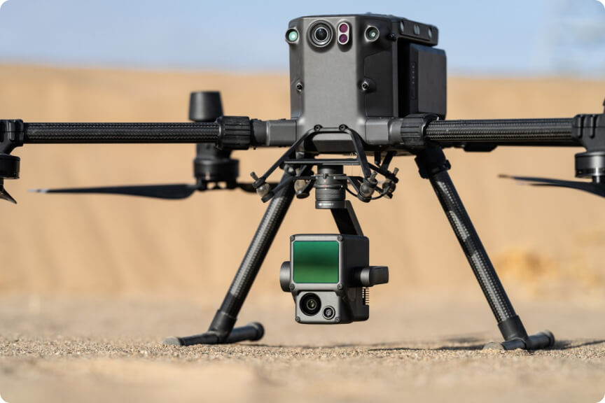
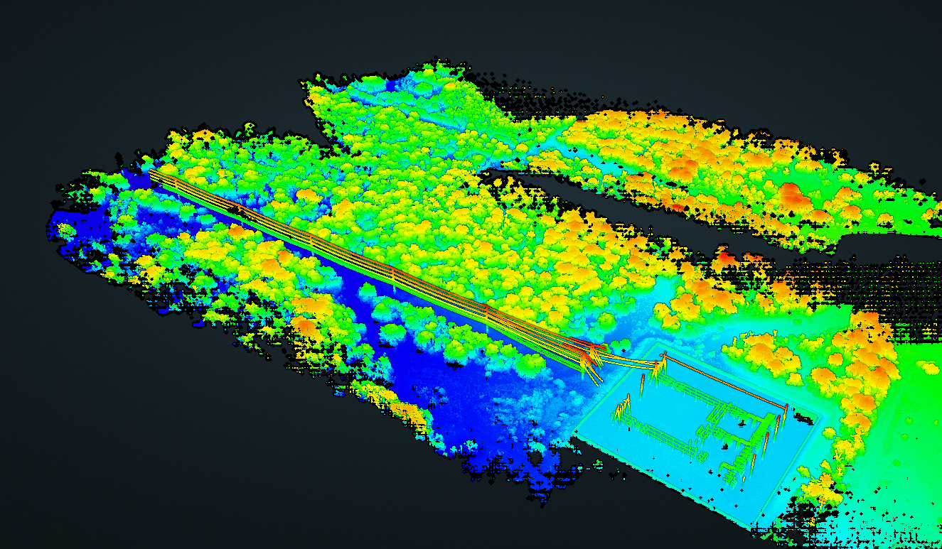
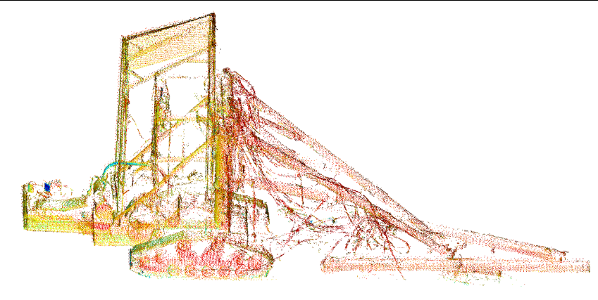
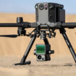
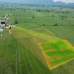
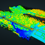
We utilize LiDAR technology on drones to create detailed and precise topographical maps for our construction projects.
Our LiDAR equipped drones will scan your construction site to create high precision maps used for land surveying and creating detailed terrain models.
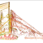
Those scans are then exported to process into features and used to create Revit files for Revit models. This helps us best estimate the cost of your project and timeline.

Survey Smarter:

Harness the Power of LiDAR Drones!

Case Study: Highway Development

A 10-mile highway development project utilized LiDAR mapping, reducing survey costs by 30% and cutting project delays. The cost savings amounted to $1.5 million USD, showcasing the efficiency and accuracy of LiDAR data in planning large-scale projects.


Explore More Services

Civil Site Construction
Earthwork Estimates
Photogrammetry
Drone Investigations