Drone Investigations

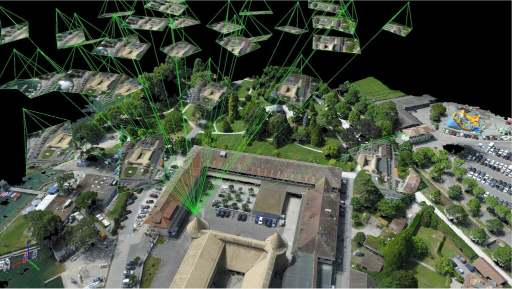
Our use of the latest drone technology is why our estimates and decision-making are second to none, keeping your projects on track and saving you money. We partner with Headsup Droning Solutions to utilize the most accurate take off collection data that can be input directly into your estimating software and give you realtime updates on every phase of your project.

Get the most out of your construction projects

Site Survey & Mapping

Progress Monitoring & Documentation

Safety & Risk Management

Cost Efficiency & Resource Optimization

LiDAR (Light Detection and Ranging):

We utilize LiDAR technology on drones to create detailed and precise topographical maps for our construction projects.

Multi-spectral Crop Analysis (NDVI):

Drones with multi-spectral cameras assess crop health, minimizing impact on agriculture during construction.

Photogrammetry:

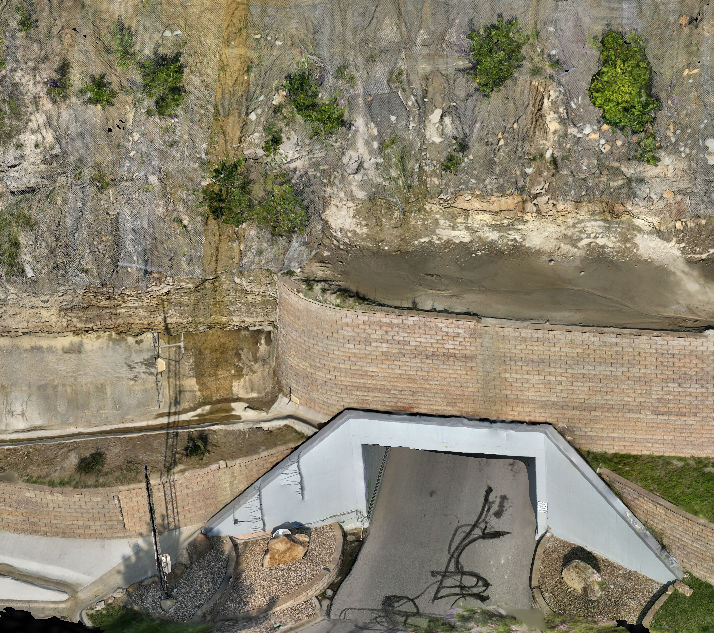
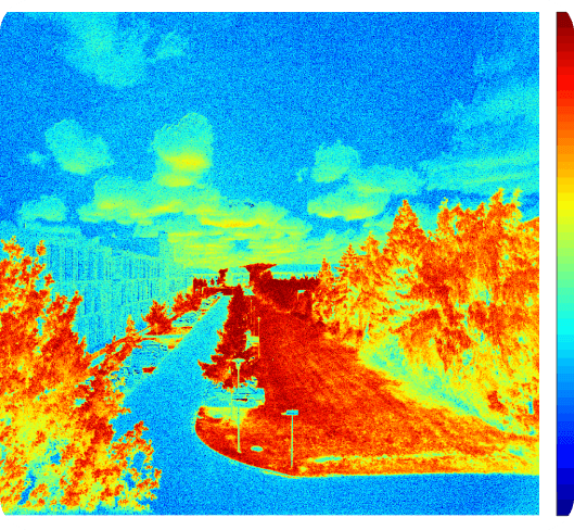
We utilize the 3D models from photogrammetry to capture accurate and detailed information about the construction site, structures, and terrain. This aids in precise project planning and visualization.

Explore More Services

Civil Site Construction
Earthwork Estimates
Erosion Control
Land Development